Supporting Vaccination Efforts through Geospatial Solutions
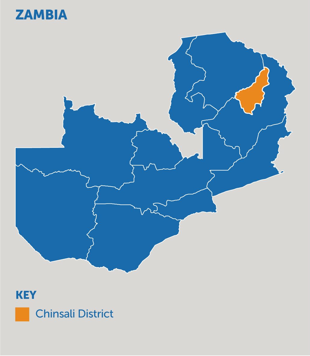
Zambia’s sixth national census was set to take place in August 2020, based on a pre-census enumeration survey that was held in 2019, but funding challenges, as well as a global pandemic, led to a postponement to 2021, and then again to 2022. The delay caused concern among immunization professionals in the Chinsali District of Muchinga province as they rely on data collected from this survey to plan for routine immunizations and COVID-19 vaccinations.
At A Glance
Without this critical information at their disposal, vaccination service planning depended on broad assumptions about where people and infrastructure were located. Layered onto this was the challenge that census data, when present, was aggregated at the district level and was not granular enough to inform micro-planning efforts. These challenges had been a continued point of frustration for immunization professionals. Many resorted to hand-drawn maps to get a better sense of the region and the population distribution and to help inform their work.
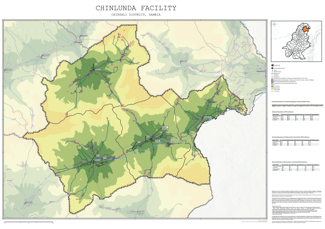
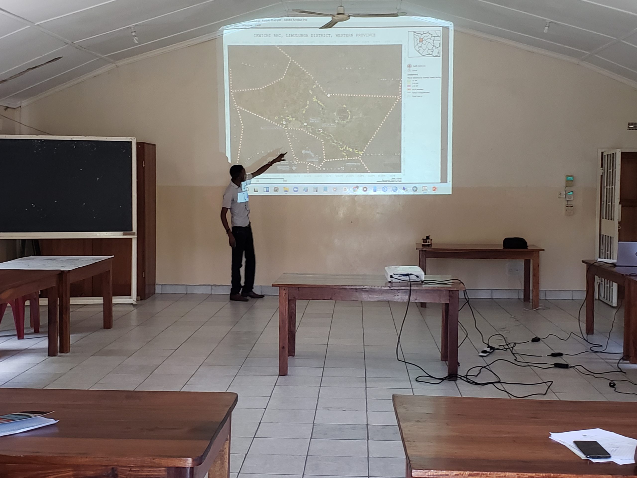
A solution to this challenge arrived in November 2020, when Geo-referenced Infrastructure Development Data for Development (GRID3) partnered with the Health Information Systems Program (HISP) to deliver maps to Chinsali, which included key insights for immunization micro-planning, including information on population (by age and sex), settlement locations, boundaries, points of interest (i.e. health facilities), and health facility catchment areas. At the time, health workers in Chinsali district were in the process of micro-planning for routine immunization services and were in need of accurate data to support their efforts.
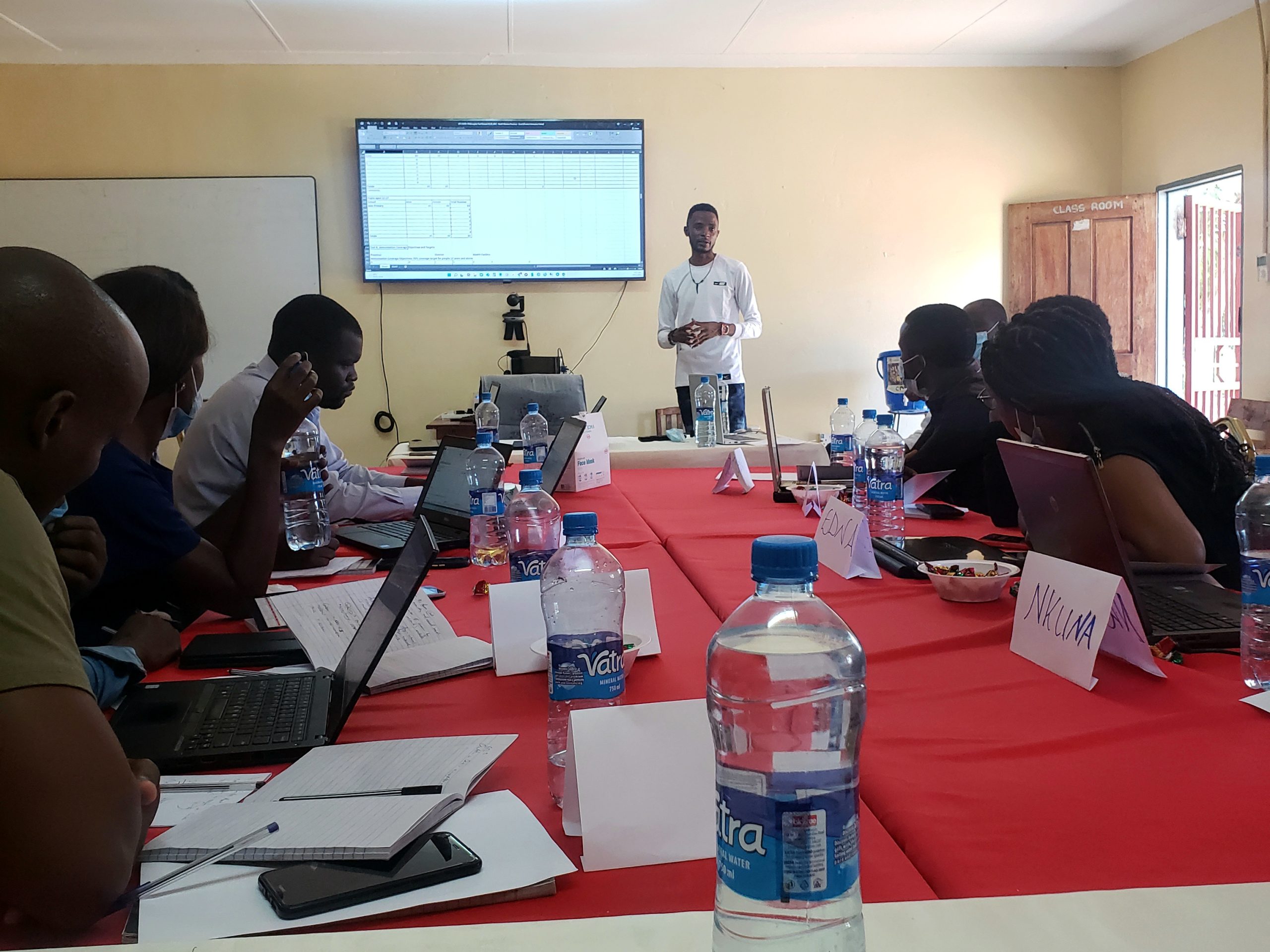
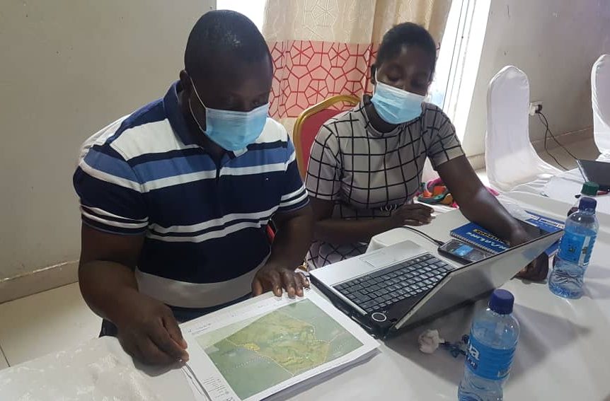
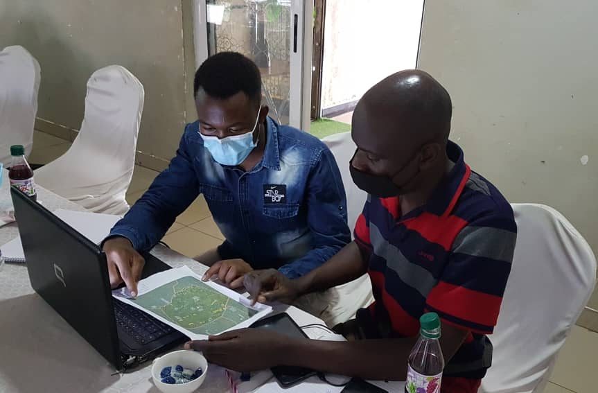
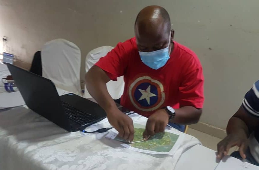
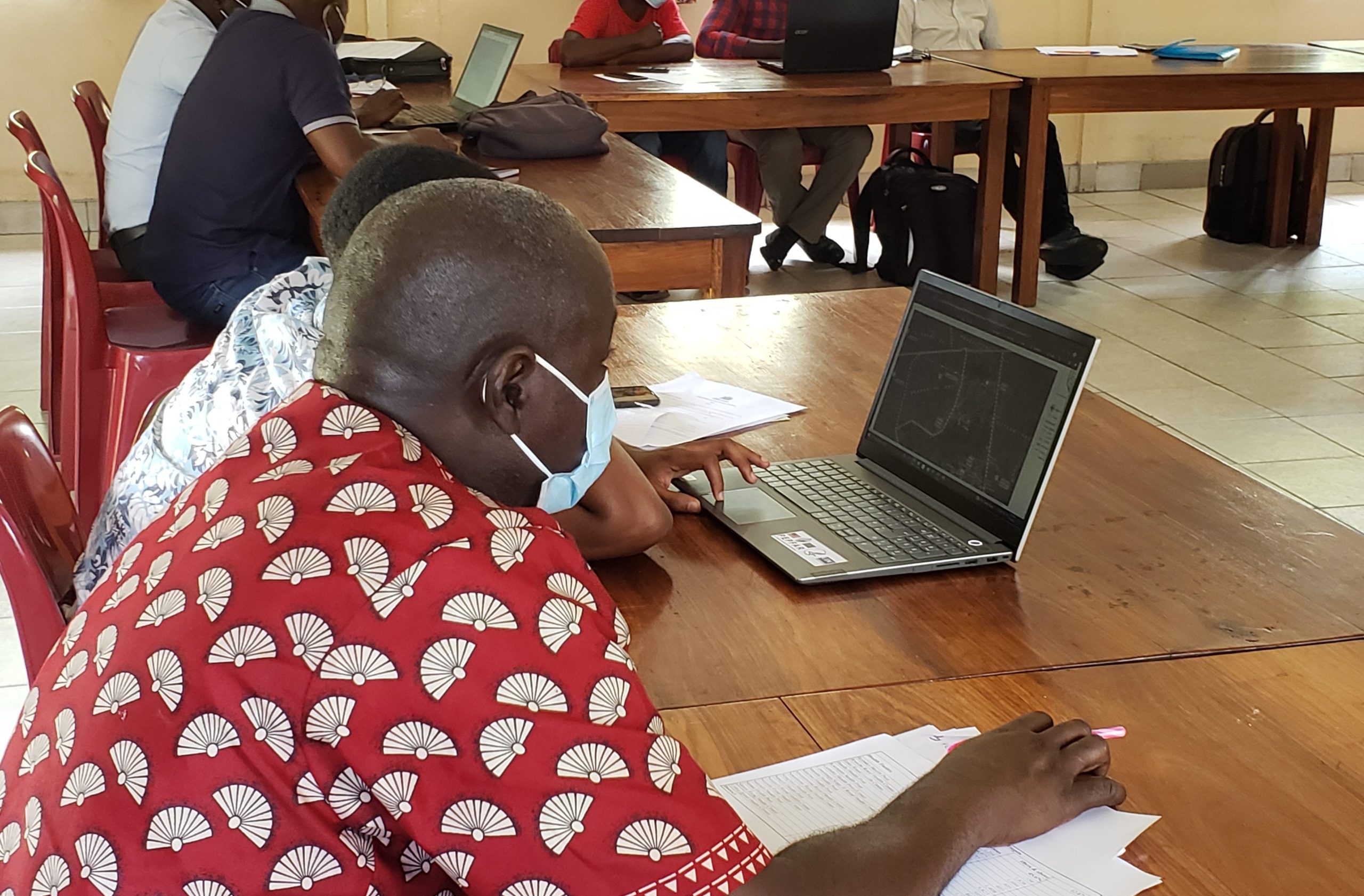
As a GRID3 technical consultant, Chisenga Musuka was responsible for coordinating with HISP, Ministry of Lands and Natural Resources, Ministry of Health, and community health volunteers to roll out these maps and get them into the hands of immunization professionals. In December 2021, Chisenga, along with the rest of the GRID3 Zambia team, facilitated a micro-planning training session with immunization professionals on how to use these maps effectively to support vaccination efforts.
As part of the training, Chisenga took the immunization professionals through the classification of different settlements based on the distance to the nearest health facility. Green zones, as portrayed on the maps, were located within a five-kilometer radius of a health facility; yellow zones between five-to-ten-kilometer radius; and red zones were over ten kilometers away. These maps not only documented the existence of hard-to-reach areas, which may otherwise be overlooked during planning efforts but also informed immunization professionals on which areas were better suited to receiving outreach services.
Feedback received was overwhelmingly positive, as many health care workers cited how much time had been saved, and, in turn, increased their own effectiveness as a result of using the detailed maps. This response informed the scale-up of GRID3 maps to the entire Muchinga province, where Chinsali is located, and in time to all provinces in Zambia, supporting COVID-19 vaccination micro-planning being led by the Expanded Program for Immunization.
Service gaps are rapidly narrowing in Zambia, thanks to the Zambian government, GRID3 and HISP’s combined efforts. Health care services are being made accessible through working partnerships and the use of geospatial tools. As more people are reached through the use of GRID3 data, immunization efforts continue to increase, putting Zambia well on the way to achieving high immunization coverage.
Chisenga now travels beyond Chinsali to EPI microplanning workshops aimed at equipping health officials with geospatial tools to reach more people with COVID-19 vaccines. The end goal of covering the entire country (i.e., reaching more than 70% of Zambia’s population) is in sight.
Moreover, the success of the micro-planning efforts is evidenced by a testimonial from Janet Sakala, a registered nurse at Sichitambule Rural Health Post in Mafinga district: “The maps had a positive impact on our planning as they helped us understand what modes of transport to use according to distances we observed on the maps. We were able to develop solutions so that we can access those hard-to-reach areas. Above all, they helped us understand health service coverage.”
Submitter Bio

This Bright Spot story was submitted by GRID3 Communications Officer Chisimdi Onwuteaka. Geospatial data has been impactful in bridging information gaps in Zambia and informing health planning; it is her hope that the insights from this story will inspire other countries and regions to adopt the use of spatial data solutions in the health sector.